Moose, Black Bear, Fishing Combo
We offer a range of accommodations, including deluxe ultra-modern outpost camps, rustic cabins, and portable tent camps.
Featured on North America Hunter TV
Hunt Details
Hunting North is unique, offering two starkly different choices, with two vastly different worlds within a mere sixty miles of each other. From the wooded boreal forest to the stark desolate beauty of the tundra, Hunting North opens the best of Northern Manitoba up to you.
Robertson Esker
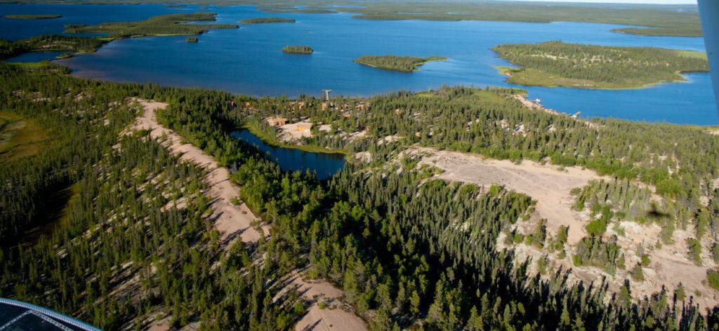
Through it all weaves countless sand eskers running from South to North and a spider web of lakes, rivers, and drainages. The Robertson Esker, Manitoba’s largest and most famous, runs over 120 miles through our area stretching into Nunavut. These eskers are superhighways for game and you will see the tracks of all as you fly overhead. Animals for centuries have migrated these structures and the ancient patterns continue to this day.
Moose, bear and wolf thrive in the boreal forest. The myriad of interconnected lakes and rivers in the North Seal River system wind through this area, before a final push to Hudson Bay. To the North, the Barrengrounds are the Land of the caribou, wolf and ptarmigan. The calving grounds of the vast Kaminuriak herd sits merely 200 miles to the North and pours through this area as it slowly makes it way to its wintering grounds south of the North Seal. This tundra features a smattering of trees, just enough to create incredible areas for excellent spot and stalk opportunities.
All hunting areas offer excellent grounds for walking with large, protected waterways to bring you within yards of each trophy. It is beautiful country, built for world-class hunting, and one you will never forget.
The unique North Seal River watershed sprawls from northwestern Manitoba to Hudson Bay. The epitome of pristine – the North Seal is a Canadian Heritage River, only accessible by air and 230 miles from the nearest road, 640 miles north of Winnipeg, MB and just below the 60th parallel and Nunavut.
The lodge on Egenolf Lake is on the main juncture for the North Seal River System and the epicenter of our exclusive 6,000,000 acre allocation. Your adventures here are an exclusive experience. You will explore, fish, and fly over some of the most virgin, beautiful wilderness in the world.
It wasn’t until Ganglers decided to move their operation here in 1995 that this unique area was truly opened to sport fishing. Today, it sits as pristine and amazing as thousands of years ago as Gangler’s guests enjoy ‘the Land of Little Sticks.’
The North Seal watershed has one of the highest concentrations of eskers in the world!
We offer a range of accommodations, including deluxe ultra-modern outpost camps, rustic cabins, and portable tent camps.
We run one caribou camp in the Manitoba tundra, No-Name Lake, located within 10 miles of the Nunavut/Manitoba border.
Hunt DetailsMost of North America was covered by several massive ice sheets that were more than 2.5 miles (4 km) thick. The ice sheets advanced and partially retreated several times, each time scouring the landscape under their massive weight.
By 25,000 to 21,000 years ago, the Laurentide Ice Sheet had reached its maximum, covering all of northern Manitoba (and indeed, most of North America south to the States of Minnesota and Wisconsin). However, by 21,000 years ago, a warming trend in global climate initiated the final melting and retreat of the ice sheet northward. As the ice sheet retreated in a northeastern direction, it left behind a scared landscape, and the melting ice created the largest lake on earth: Glacial Lake Agassiz.
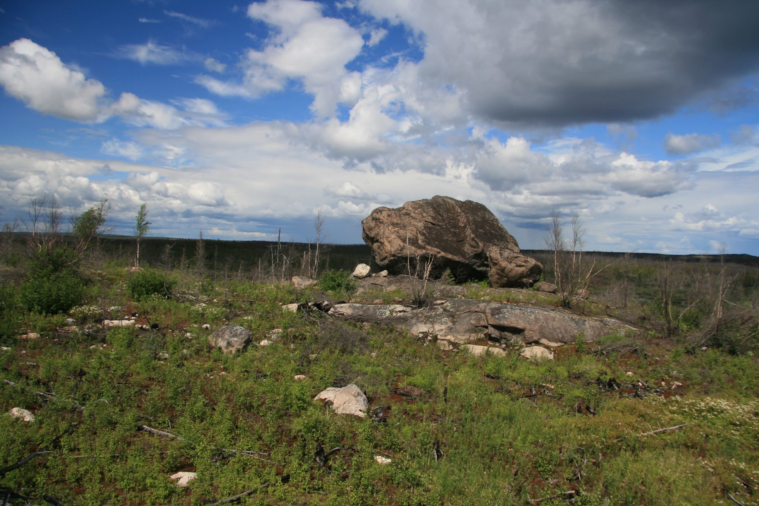
Lake Agassiz covered more than 170,000 square miles (440,000 sq. km.), inundating most of Manitoba and parts of Saskatchewan, Ontario, Minnesota and North Dakota. The northern shoreline of the massive lake was located at the North Seal River. Lake Agassiz was larger than any currently existing lake in the world. The lake drained and refilled several times from 13,000 to 8,000 years ago. The final period of draining was massive and occurred quickly. The final flood of freshwater from Lake Agassiz into the Arctic Ocean caused a global sea rise of up to 9 feet (3 m), a change in oceanic circulation patterns and a temporary cooling of the climate globally. The final melting and retreat of the ice sheet in northern Manitoba not only temporarily created Lake Agassiz, but also left behind a more permanent and spectacular geologic formation: eskers. Eskers are large sand dunes created below glaciers as the ice sheet melted. They are formed within and between segments of meltwater channels cut into substrate below the base of the ice sheet, as meltwater velocity drops near the terminus of the glacier.
Our guides are licensed by the province of Manitoba. They are required to take courses in Hunters Safety and First Aid and must pass a written exam.
Located in the northernmost areas of Manitoba, Canada, Hunting North is unique among all Big Game Hunting Guides and Outfitters. We offer Canada’s finest fly-in Hunts.
Stay up to date with all our news and specials through our spam free Newsletter.